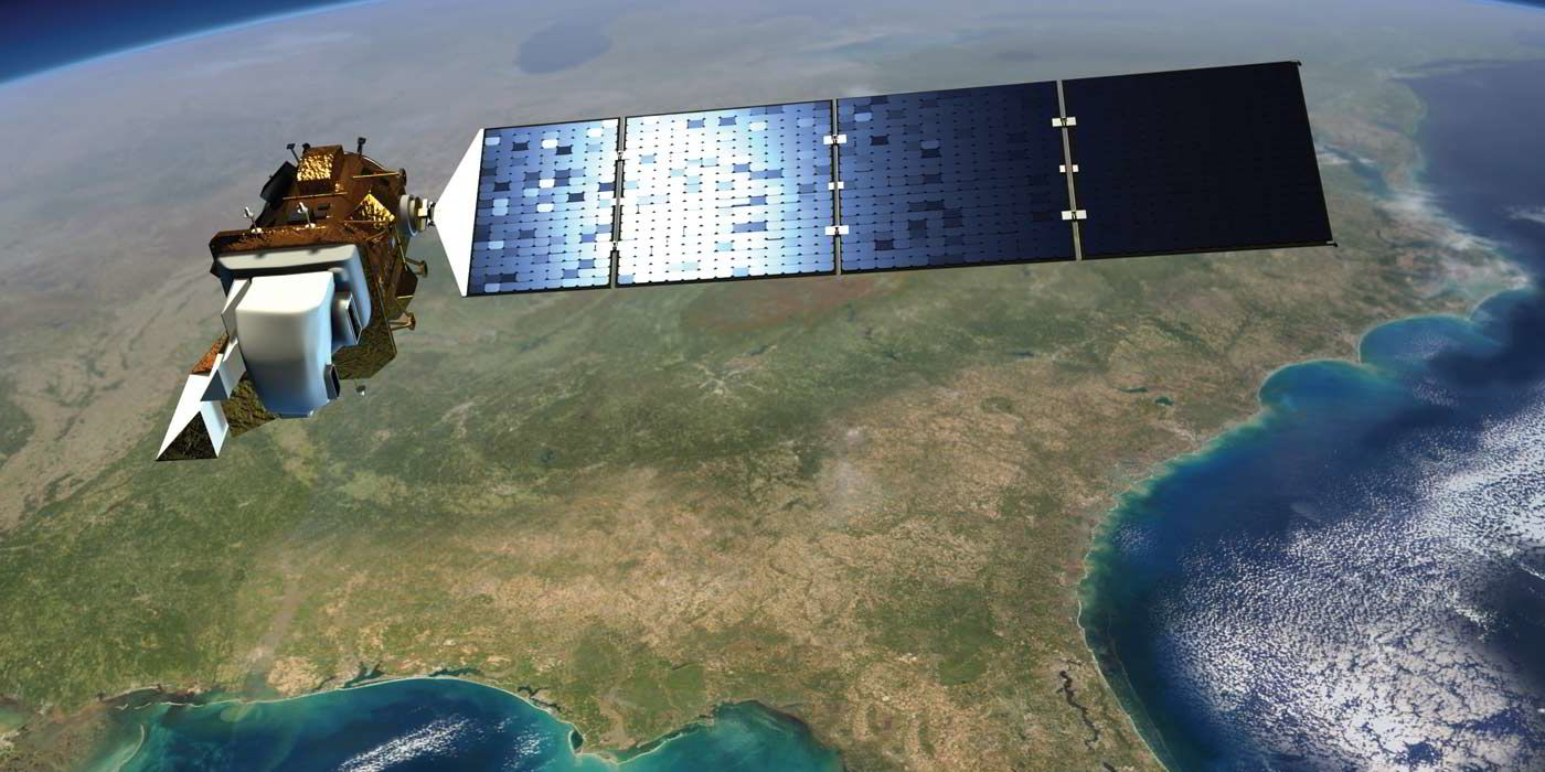
Published by the UK’s seabed landlord, the Crown Estate, the MERRA (Modern-Era Retrospective Analysis for Research and Applications) offshore validation report found that the absolute wind speeds gleaned from satellite data were not accurate enough to replace the measurements taken by met masts and laser-driven lidar, but could usefully serve as “ball-park” estimates in early planning.
And dovetailed together with met mast or lidar, the data processed could go some distance to lending “extra assurance and value” to developers working towards final investment decisions (FIDs) on developments.
“The
