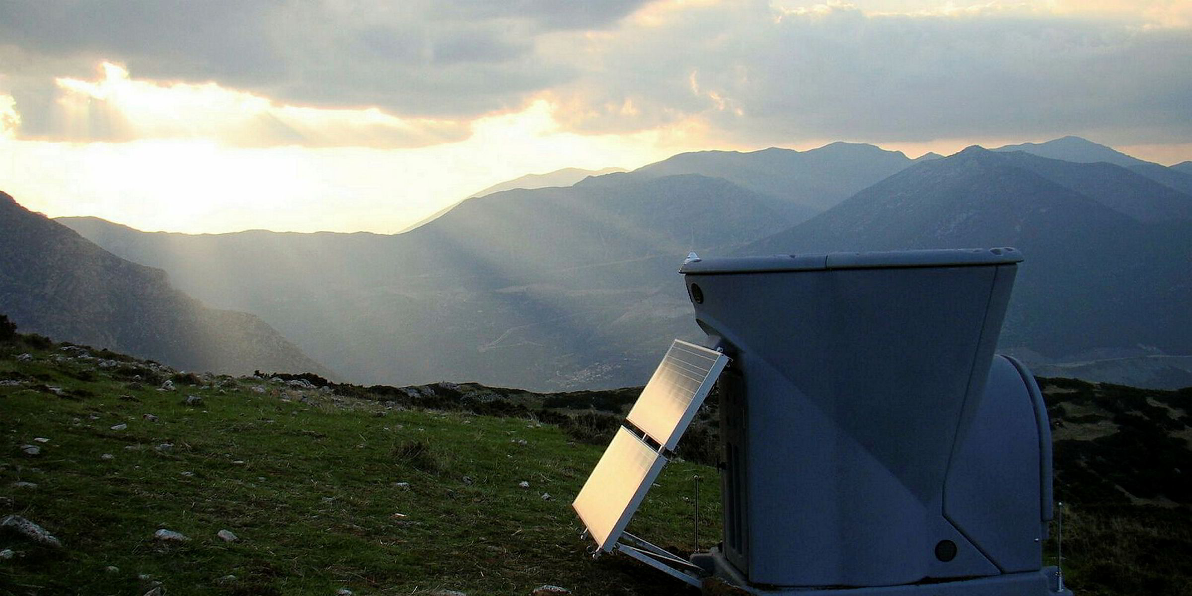
Finland-based environmental measurement company Vaisala and computational fluid dynamics (CFD) modelling firm WindSim have completed what they say is the largest-ever study on how the effects of complex terrain on wind measurements collected by remote sensing units can be mitigated.
"While remote sensing devices are increasingly supplanting met towers as the preferred technology for wind measurement campaigns, concerns over the way both SoDAR [Sonic Detection and Ranging] and LiDAR [Light Detection and Ranging] technologies respond to complex air flows have posed an obstacle," said Pascal Storck, director of renewable energy at Vaisala.