Most of US had higher average wind speeds during 2011
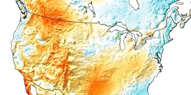
The majority of the US experienced above-average winds in 2011, reports renewable energy analysis firm 3TIER.
The majority of the US experienced above-average winds in 2011, reports renewable energy analysis firm 3TIER.