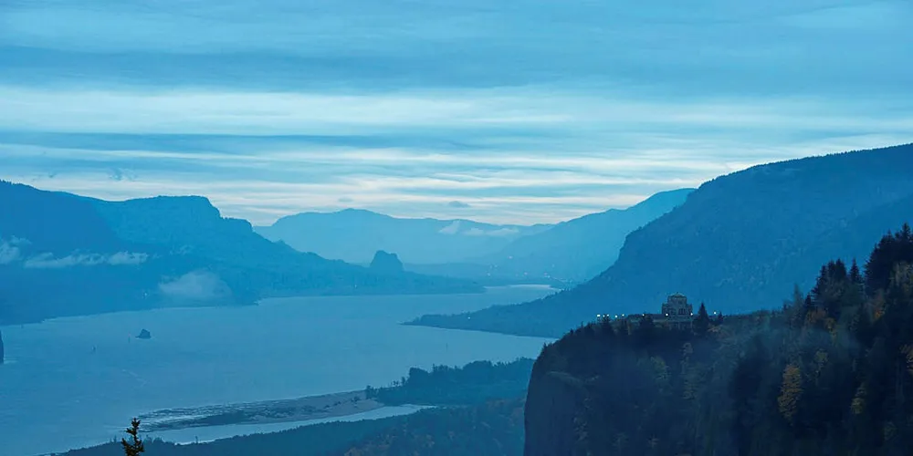
The Wind Forecasting Improvement Project (WFIP2), funded by the US Department of Energy, has completed the world’s largest-ever deployment of wind measurement technologies, charting the wind patterns in the Columbia River Gorge – with the results expected to help expand the development map for onshore wind farms globally.

The multi-year, multi-million dollar study saw more than 200 measurement devices of several dozen types deployed across a 50,000 sq km area around the Columbia River Gorge, a topographically complex canyon region that divides the states of Washington and Oregon in the US northwest.