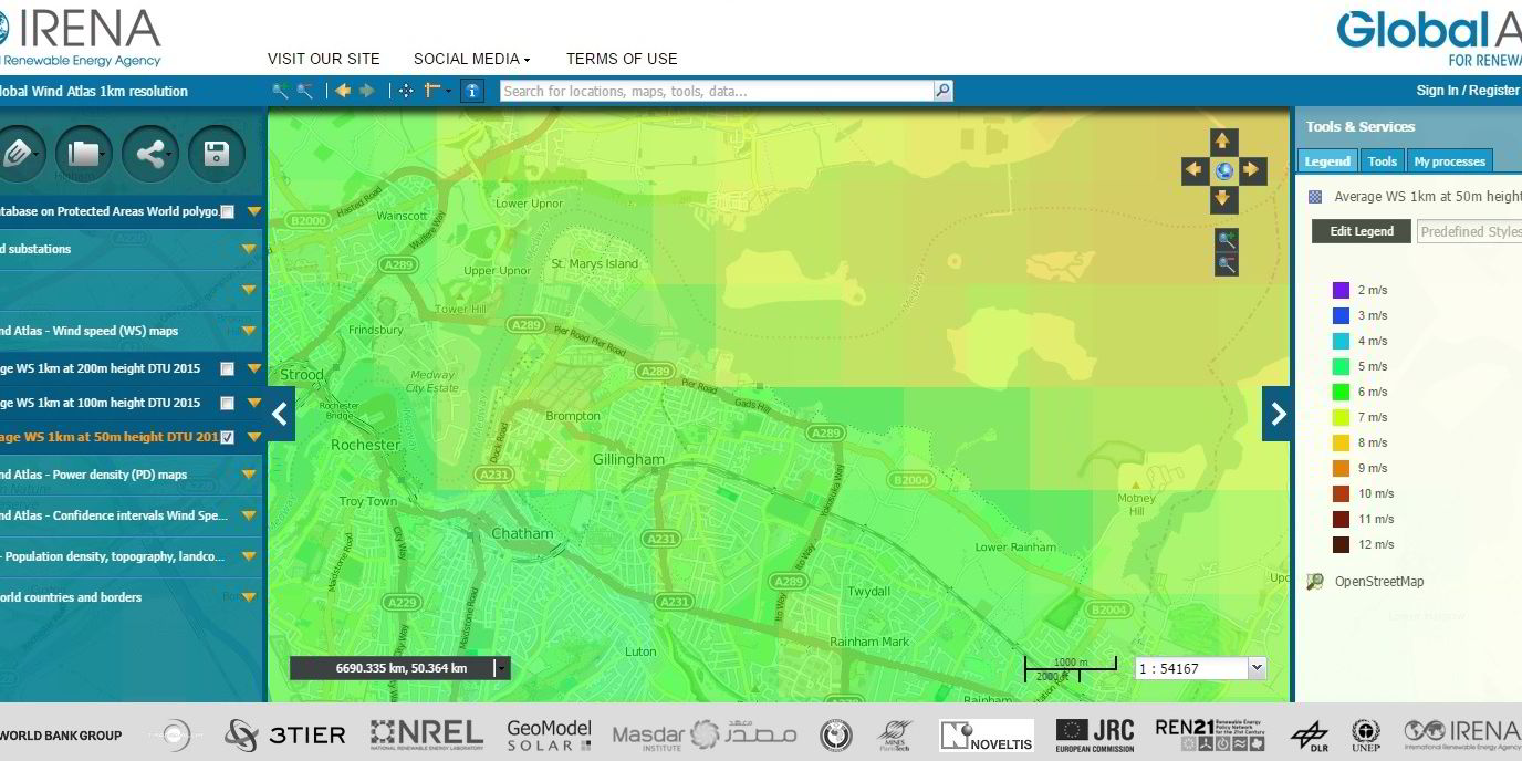
The Global Wind Atlas, launched today, provides resource data to a 1km resolution allowing developers to make more accurate assessments.
Irena and DTU said previous public wind data was only available at 10km-resolution at best, leading to potential underestimates of resources at a particular site.
“The Wind Atlas can prevent this underestimation, provide visual maps showing wind speeds at three different heights, and also provide tools to generate and export data, and statistics such as wind roses and wind speed distributions over a chosen area,” said a statement.
The